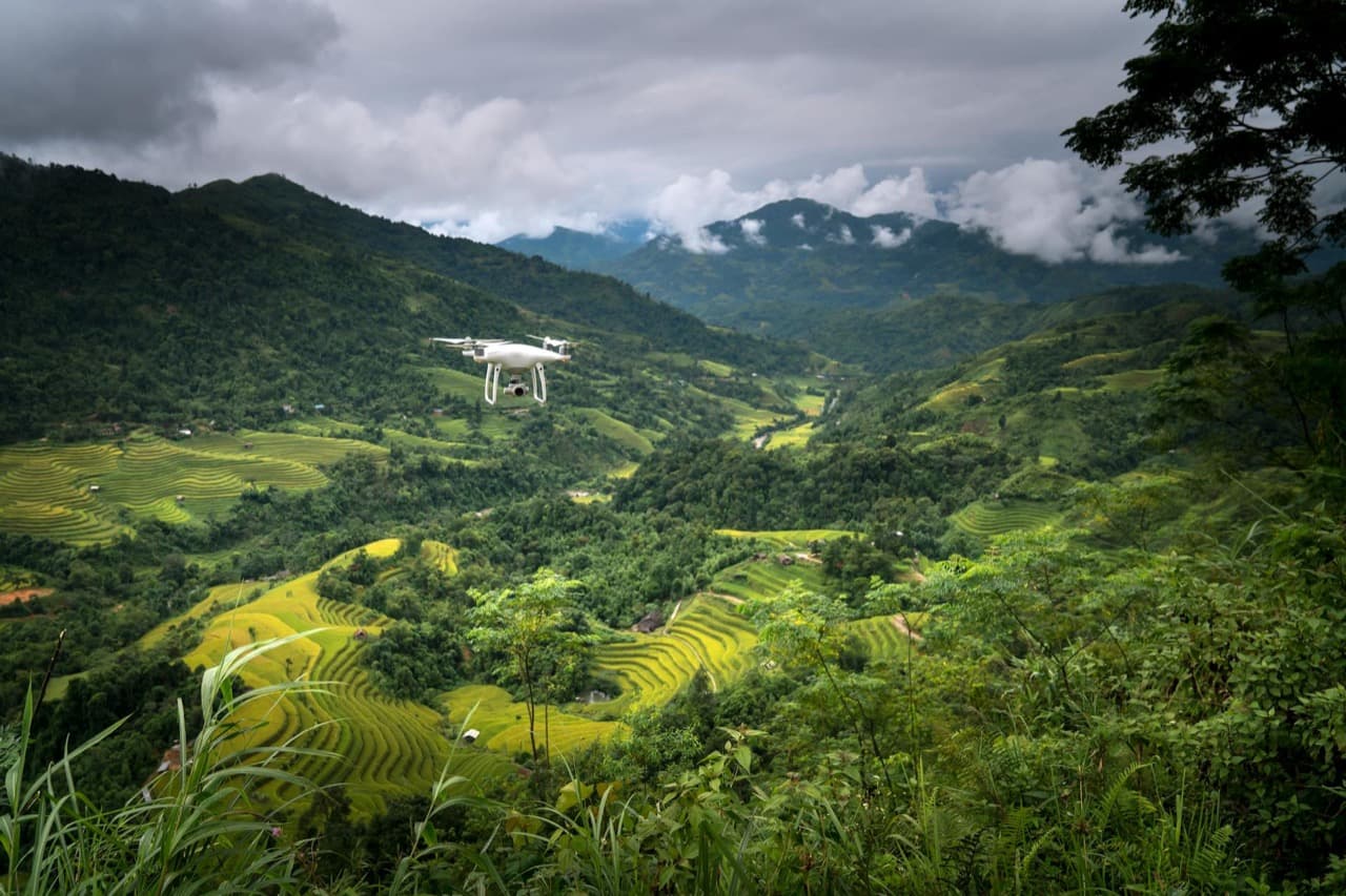
Why agricultural AI annotation is different
Agricultural AI applications share technical requirements with other computer vision domains – object detection, semantic segmentation, classification – but operate on data types and subject matter that are genuinely unfamiliar to annotation teams without agricultural context.
An annotator who can correctly segment a car in a street scene cannot necessarily distinguish between healthy rice panicles and early-stage blast disease in a drone image of a Vietnamese paddy field. The visual cues are subtle, domain-specific, and dependent on knowledge that general annotation training programs do not provide.
This domain specificity is simultaneously the challenge and the opportunity in agricultural annotation. Because the expertise requirement reduces the available vendor pool, well-positioned vendors with genuine agricultural knowledge can provide significantly more value than commodity annotation services.
Core use cases: what agricultural AI requires
Precision agriculture AI applications span a wide range of data types and annotation tasks. Understanding the use case landscape helps buyers determine which annotation capabilities are relevant to their specific program.
- Crop disease detection: identifying disease symptoms (rust, blast, blight, mold, pest damage) in plant imagery at leaf, plant, and field scale. Requires annotators trained on specific disease visual signatures for each crop type.
- Yield estimation: annotating fruit count, size, and development stage in orchard imagery to train yield prediction models. Pixel-level segmentation of individual fruits in dense canopy is a technically demanding task.
- Weed identification: annotating weed species separately from crop plants in field imagery, often in conditions where visual distinction between weed and crop seedlings is subtle and crop-specific.
- Soil and land condition annotation: classifying soil type, erosion status, and moisture indicators from multispectral satellite or drone imagery – used for irrigation management and field planning AI.
- Livestock monitoring: annotating individual animal identity, body condition score, and behavioral state from farm camera footage for welfare monitoring and health management AI.
- Autonomous harvesting robot data: annotating harvest-ready vs. not-ready produce in high-speed imagery for robotic picking systems. Temporal consistency and precise localization requirements are similar to ADAS annotation.
- Aquaculture monitoring: annotating fish health indicators, feeding behavior, and water quality signal markers in underwater camera footage – a growing application for shrimp and fish farming operations across APAC.
Drone imagery annotation: specific requirements
Drone-captured imagery is the primary data source for precision agriculture AI at the field scale. Annotating drone imagery for agricultural use cases involves several considerations that differ from standard ground-level imagery annotation.
First, the viewpoint. Agricultural drone imagery is captured from 30–120 meter altitude with a nadir (directly downward) or oblique perspective. Objects that are visually familiar at ground level (a plant, a tractor, a person) appear very differently from altitude and in the context of large-area coverage.
Second, the resolution and scale variation. Drone images range from 1cm/pixel GSD (ground sample distance) for close-range crop inspection to 10–50cm/pixel for field-level surveys. Annotation guidelines must specify which spatial scale each annotation task targets.
- Orthomosaic annotation: large-scale stitched drone maps require annotation at the field level (field boundary delineation, land use classification) rather than item level.
- Object detection in nadir imagery: identifying and counting plants, animals, or objects in downward-facing imagery. Small object detection (plant counts in dense canopy) requires high annotation precision and specific tools.
- Multispectral image annotation: drone imagery captured in non-visible wavelengths (near-infrared, red-edge) for plant stress detection requires annotators who understand how healthy vs. stressed vegetation appears in each spectral band.
- Change detection annotation: annotating pairs of drone images from the same field captured at different times to identify changes (disease spread, flood damage, growth stage progression).
- GPS-matched annotation: linking visual annotations to GPS coordinates for downstream GIS integration – requires annotators working in tools that support georeferenced data.
Vietnam's agricultural context as an annotation advantage
Vietnam is the world's third-largest rice exporter, a major producer of coffee, rubber, pepper, cashews, and seafood, and one of the fastest-growing precision agriculture markets in APAC. This agricultural context creates a specific advantage for Vietnam-based annotation teams on agricultural AI projects that foreign vendors cannot replicate.
Vietnamese annotators with rural backgrounds or agricultural education have direct familiarity with the crop types, disease patterns, and field conditions most relevant to APAC agricultural AI applications. This is not a claim about superior general annotation skill – it is a claim about domain knowledge that reduces the time and cost of developing production-grade annotation guidelines for agricultural tasks.
The aquaculture application is particularly relevant. Vietnam is one of the world's top five shrimp and pangasius producers. AI applications for aquaculture disease detection, feeding optimization, and harvest planning are a growing market in Vietnam, Thailand, Indonesia, and Bangladesh. Vietnamese annotation teams with direct exposure to aquaculture operations can annotate behavioral and health data from underwater cameras with a specificity that general computer vision annotators cannot match without extensive domain training.
Annotation types and tools for agricultural data
Agricultural annotation programs use a wider range of annotation types than most other domains, because the data types themselves are more diverse. These are the core annotation types and tooling requirements for the most common agricultural AI tasks.
- Bounding box annotation: plant counting, animal detection, equipment identification in drone and ground imagery. Standard tooling is adequate.
- Polygon and instance segmentation: individual plant delineation, field boundary mapping, water body annotation in satellite/drone imagery. Requires tools with polygon support and ideally georeferencing capability (QGIS, CVAT with georeferencing, or specialized platforms like Roboflow or Encord).
- Semantic segmentation: pixel-level classification of field imagery into land cover classes (crop, bare soil, water, infrastructure). High computational cost per image but required for crop mapping models.
- Classification annotation: disease severity scoring (1–5 scale), growth stage labeling (BBCH scale for common crops), body condition scoring for livestock. Requires annotators trained on the specific scoring system for each crop or animal type.
- Time-series annotation: labeling sequential drone or satellite imagery for change detection and phenology monitoring. Temporal consistency requirements are similar to video annotation – the same field object must carry consistent labels across all time steps.
- Multi-modal annotation: combining visual annotation with structured data labels (weather, soil sensor readings, field history) for multivariate AI model training. Requires annotation platforms that can handle mixed data types.
Building agricultural annotation expertise: the training investment
Agricultural annotation is not a task that general-purpose annotators can perform at production quality without domain training. The training investment is higher than for most annotation task types, which is why many annotation vendors underinvest in agricultural capabilities despite growing market demand.
A realistic agricultural annotation training program for annotators with no prior agricultural background: 20–40 hours of domain study (crop biology, disease identification, drone imagery interpretation), 10–15 hours of supervised labeling practice on gold-standard datasets, and a species/disease-specific module (4–8 hours) for each new crop or application added to the annotation program.
Annotators who grow up in agricultural communities in Vietnam, particularly in major rice-producing provinces like An Giang, Dong Thap, and the Mekong Delta, already have significant baseline knowledge that reduces this training investment by 50–70% for rice and aquaculture applications. This is a genuine workforce advantage that urban-concentrated annotation vendors cannot claim.
DataX Power's Vietnam-based annotation team includes annotators with direct agricultural backgrounds across rice, aquaculture, and highland crops – reducing domain training overhead for precision agriculture AI projects.
Explore our data annotation services for agri-tech AIThe precision agriculture annotation market: buyer guidance
Agri-tech AI teams sourcing annotation services for agricultural applications face a market where most vendors overstate their capabilities. Credible vendor evaluation for agricultural annotation should include: a demonstration pilot using your actual crop type and data source (drone imagery, ground camera, satellite – each is different), reference contacts from previous agricultural annotation clients (not just general computer vision clients), and evidence of domain training investment (annotator training materials, domain expert advisors, or prior agricultural project documentation).
The vendors who have genuinely developed agricultural annotation capabilities are a small subset of the broader annotation market. The precision with which you specify your requirements in the RFP process is the primary determinant of whether you find them.